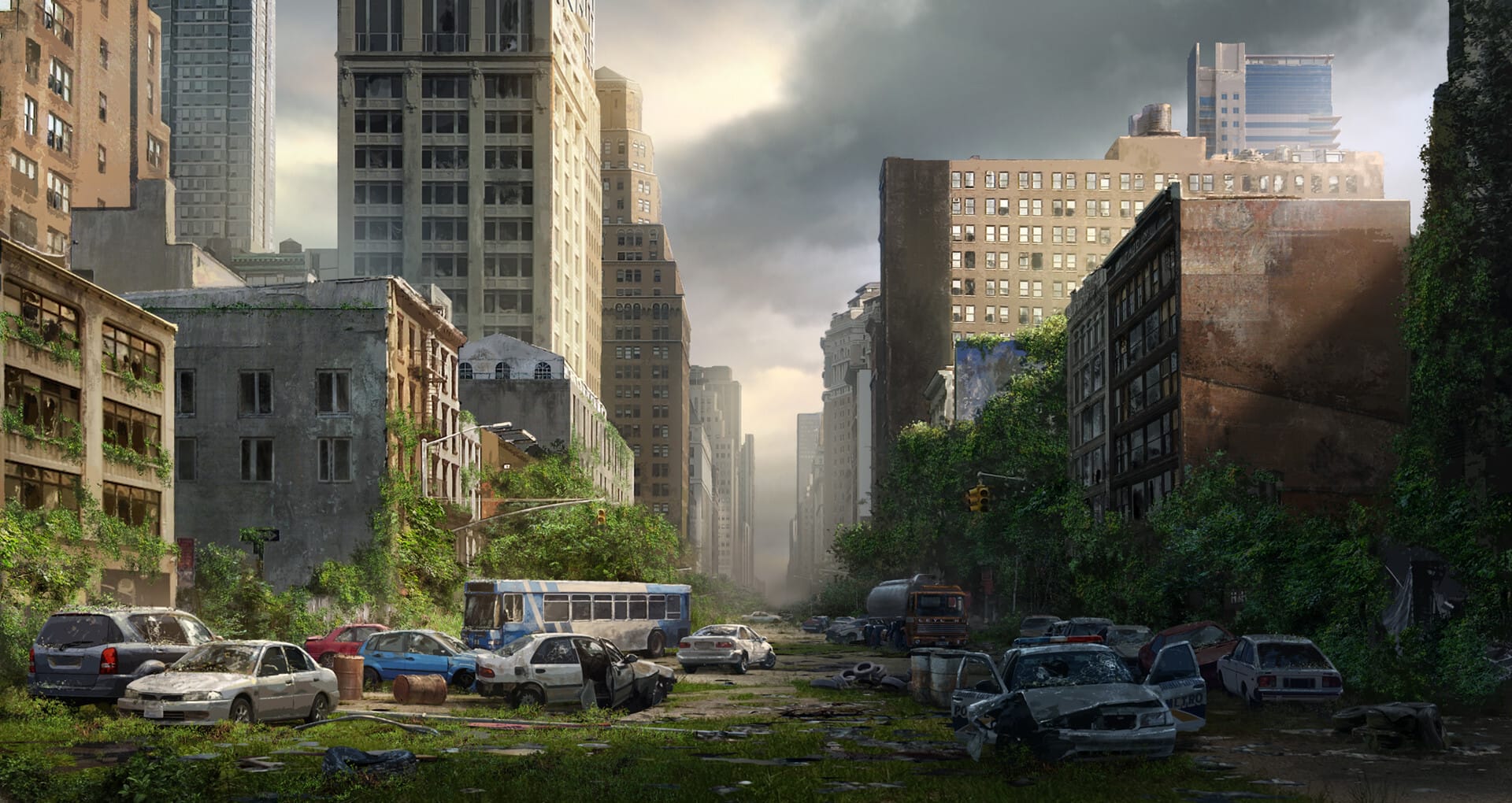
Charting the Wastelands: More Post-Apocalyptic Maps
You’ve seen map charts before. They tell you about things that happen over geographical areas, such as population distribution, traffic, sales revenue, employment projection, forest types, and so on. None of those has any practical purpose whatsoever in a post-apocalyptic world. What you need is a map chart about radiation zones, zombie attack incidents, polluted waters, survival rates, and most importantly, escape routes. And before you stamp some colors and symbols to navigate the new world, first you need some post-apocalyptic maps. While you can chart a normal world map – like the one you see in a local library – and call it a day, you probably shouldn’t.
If you really want an entirely new layout with never-seen-before geographical makeup, refrain from thinking about zombie outbreak, pandemic, or World War III. What you need is something much more devastating. It could trigger massive and sudden geological reformations. Your apocalypse must be destructive enough to where even the Earth’s poles are shifting. Relentless asteroid impacts over a prolonged period are far-fetched indeed, but you could do worse. So, what should your new world map look like? We don’t know, but here are some ideas to get you started.
Antarctica
Since we’re talking about pole shifts, Antarctica comes first. Most of the land is no longer polar desert but a fertile territory with nutrient-rich soil and water. You can farm here. Such a profound change happens all across the planet.
North America
Survivors from British Columbia and Alaska are migrating to many regions in Ontario, Quebec, Saskatchewan, and Manitoba. A large chunk of northwestern Canada is pushed in nearly two hundred miles. Meanwhile, further south in the United States, the West Coast is slanted toward Wyoming, Colorado, and Nebraska. Over 100 new islands emerge from good-old California. Maine and Florida and every other state in between along the East Coast are also pushed further inland for miles.
All five Great Lakes become one with the St. Lawrence River, flowing through the Mississippi River and ending up in the Gulf of Mexico. Coastal areas of Mexico fare little better either. The Yucatan Peninsula is gone because of the rising sea level.
Europe
There are no more Denmark, Finland, Sweden, and Norway; they disappear under water as the tectonic plate underneath northern Europe collapses. The few remaining survivors are scattered across hundreds of small islands. The same thing happens to nearly all the United Kingdom. In Ireland, people living on higher grounds have to witness the sea swallowing everything in the lower areas.
Only a few major UK cities like Birmingham and London are visible on your post-apocalyptic map. It doesn’t really matter if a city is actually sitting on a higher ground. A map just looks nicer with a Big Ben icon on it. The same thing applies to Paris, which you may want to leave intact even when nearly all other areas in France are submerged, just because you’ve prepared an interesting 3D icon for the Eiffel Tower.
The Baltic, Caspian, Kara, and Black seas combine to separate Russia from the rest of Europe, or what’s left of it. We know such a catastrophe sounds a little too harsh compared to those in America, so let’s just say the climate is not all that bad in Russia, which means nearby countries will now rely on the Russians for food supply and other resources. At the very least, you can include a shipping lanes chart in your map. Most of Turkey is now under the sea level. Venice is gone, and so are Rome and Naples.
Asia
With the Pacific Plate shifting its position, Japan is lost to the sea. Taiwan and South Korea are wiped out by water, too. Just about the entire coastal region of China is pushed westward to hundreds of miles. The Philippines disappear and Indonesia breaks up even more. Asia suffers the heaviest loss of land mass, but new uninhabited lands will appear.
Australia
Coastal flooding consumes almost 25 percent of Australia. There are new lands off the coast of the continent, and refugees are concentrated in Queensland. The southern coastline of Australia shrinks a great deal, erasing Adelaide and all areas all the way north to Lake Eyre. Just like what happens in the Antarctic, the Gibson and Simpson deserts are now fertile farming land areas.
Everywhere Else
The sea rises, continents crack, lakes and rivers merge, and hundreds of small islands spring up; you get the idea. It is the same thing in Africa, India, New Zealand, and South America. Countries worldwide get pushed around, literally, and the Earth has a brand-new face.
We think if you want to build a completely new map of the world of post-apocalyptic time; think beyond zombie outbreak and uncontrollable pandemic. They don’t reshape the Earth, asteroid collisions with the planet do. It’s not just Stephen King’s The Stand or Max Brooks’ World War Z, but N. K. Jemisin’s Broken Earth series. Once the map is ready, whatever chart you want to make will be as unsettling as it is disturbing. Don’t confine your map chart with only shades of colors. Use symbols, markers, and patterns to tell survivors where to go, what routes to take, how to get to the other end of a chain of mountains, and what dangers lurk around every corner. Your post-apocalyptic map should be mostly about how to go from point A to B, and stay alive when you get there.
How many asteroid impacts do you think it will take to reshape the planet? If massive earthquakes happen in places where we have military bases and nuclear reactors, what do you think the chain reaction will look like? We’d love to hear from you.
Other Things You Might Want to Know
Novels in the Broken Earth series:
● The Fifth Season (2015)
● The Obelisk Gate (2016)
● The Stone Sky (2017)
What is the possibility of an asteroid impact?
There’s no way to be completely certain about the possibility, but it is highly unlikely. Many asteroids did penetrate into the Earth’s atmosphere over the past 15 years. All of them had burned to ashes before they could reach the ground. NASA also doesn’t think that Bennu, an NEO (Near-Earth Object) that passes by our planet every six years – and by the way, it’s about 1,600 feet wide – will even come close to making an impact. Unless it gets close enough to be affected by the Earth’s gravitational pull, or that another flyby alters its orbit, there’s little to worry about. If those worst-case scenarios happen, Bennu will find its path to hit the planet in September 2182.
How big was the asteroid that wiped out the dinosaurs?
It was around six-miles wide. Bennu is much smaller.